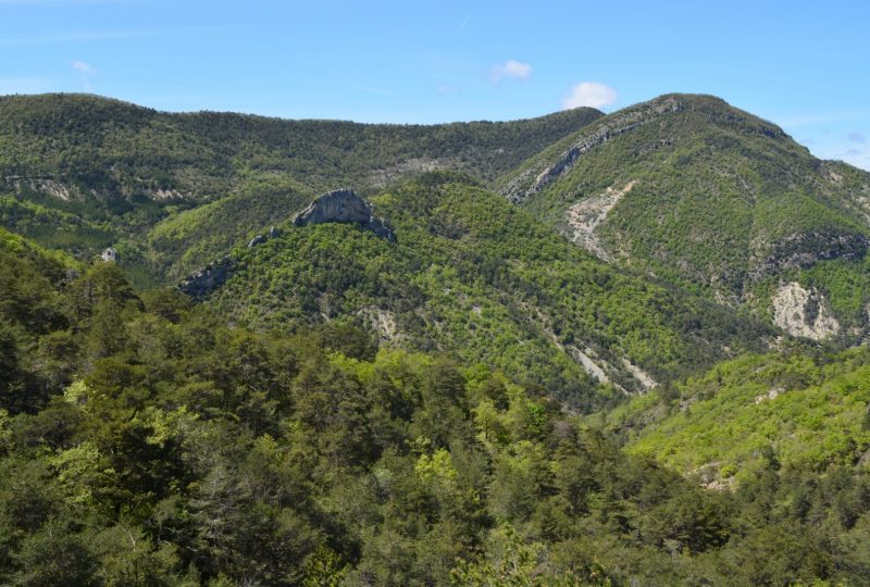
A long hike over 6 passes, from Col de la Croix to Col de Serriès, via Soubeyrand, Saint-Vincent, Linceuil and Les Lantons, with numerous views of the surrounding mountains.
Description
From the magnificent village of Rochebrune, proudly perched above the Ennuyé valley, to the Rieu valley, a tributary of the Eygues, via the Ouvèze valley.
Departure: Park in the village of Rochebrune, on the main square.
1. From Rochebrune (581m) take the narrow road up towards the six passes. After 200m, turn right onto the Chemin de Chante-Perdrix. The road becomes a track. In a hairpin bend on the right, cross a ford. At the junction after the hairpin turn left.
2. Stay on the track as it enters a second hairpin bend, this time to the left, following the yellow and GRP markings.
3. At the fork in the road at the electricity pylon (point 665m on the IGN), turn right. The track passes between fields, then joins the forest.
4. At the intersection 200m further on, turn right again. You pass the edge of a field, then go around it at the top. After a few metres, leave the field and turn left onto a path.
5. You reach the Col de la Croix (723m), where a road leads off to the left.
6. After 300m, turn right onto the Chemin de Soubeyrand. Keep straight on the main track towards a pass. You will pass the farmhouse on the Col de Soubeyrand.
7. Leave the track and turn left onto a grassy path. After 100 m, you reach the track, which you take on the left. Stay on the track.
8. At the crossroads (alt. 883m on IGN) take the middle track. You then pass between two fields, and 200m further on you come to the Col de Saint-Vincent (918m). Follow the track as it veers to the left.
9. At the crossroads, turn right. This is the former Fournache sheepfold, once a Maquis camp.
10. You reach the Col de Linceuil (893m). Turn right, following the GR9 markers. Turn right again after 50m. After 1km, the track becomes a steep downhill path.
11. At a crossroads, rejoin the track and turn right.
12. You reach the Lantons ruins (740m). Turn left towards Col des Lantons, 300m further on.
13. From the Col des Lantons (726m), go straight ahead on the Chemin du Villard towards Montaulieu. You'll pass the foot of the Crespin rock (noted on the IGN as the Florin rock), a high-level climbing site.
14. Leave the track 2.2 km further on, at 600m, and turn right onto an uphill undergrowth path.
15. Join a track, turn right and reach the Col de Serriès (alt. 718m). Cross the track and take a grassy path across a field.
16. 200m further on, you come to a stream, cross it and take the left bank path.
17. Turn right to cross the stream a second time. The path then climbs to the left.
18. After 350 m, leave the main path and turn right onto an uphill path.
19. You come to the hairpin bend that the track described at the start. Follow the same route to the parking lot.
Spoken languages
- French
Labels and ranking
- Open air
Activities
- Pedestrian sports
- Hiking itinerary
Visit
Individual tour
- Average Duration of the individual tour: 300 minutes
Rate
Situation
To see the spot on the map, you can fly over the altitude difference below.

