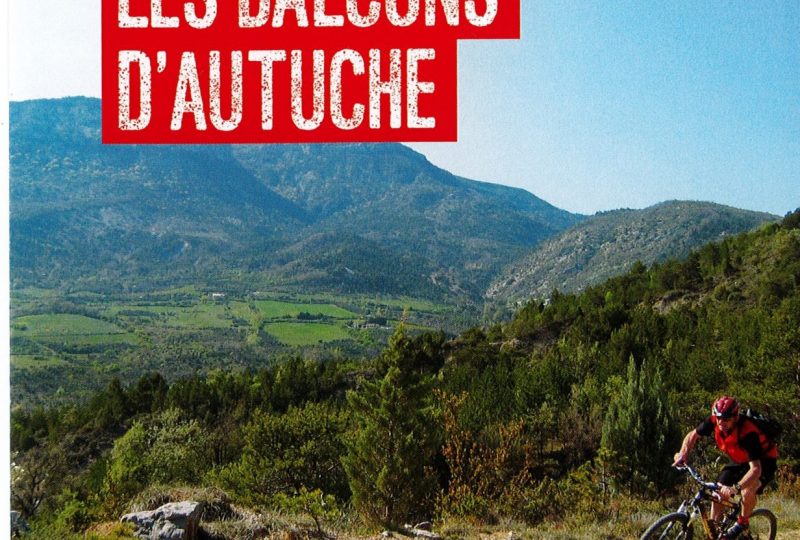
A physical circuit on both the ascent and descent, climbing the Col Aimond at the foot of the Mont Autuche, to take in the view of Mont Ventoux.
Description
The route begins on a quiet road towards the Col de Valouse to cross the gorges. The route continues on an uphill track to Col Aimont, with a view of Mont Ventoux. Be careful, the descent is very stony, so keep your strength up, as you won't forget either the last climb or the final descent.
Point 1: Village square (km 0).
Point 2: Le s Tilleuls (km 0.06 - 420m)
Left VTTn°6.
Point 3: Avant Grange neuve (km 5.7 - 700m)
Turn left off the D130.
Point 4: Marinon (km 7.5 - 746m)
Turn right.
Point 5: Col Aimont (km 9.63 - 856m)
Highest point on the circuit.
Point 6: Col de Fonturière (km 10.91 - 775m)
Turn left.
Point 7: La piste (km 11.44 - 755m)
Continue straight ahead on the track.
Point 8: L'Echalette (km 14.47 - 755m)
Turn left into private property. Big climb.
Point 9: Pied de Reyssas (km 16.87 - 690m)
In the hairpin bend, take the path straight ahead for 30m, then switch right onto the path, a fine descent to the campsite, then back to the village.
THE COMMUNAUTE DE COMMUNES DES BARONNIES EN DROME PROVENCALE :
- FFCT circuit rated red for MTB (difficult) and red for VTTAE / XC type / for regular and experienced riders
- A 10 km climb for 450 meters of ascent and a second climb of 2 km for 250 meters of ascent.
- Technical Enduro-type descents.
*refer to FFCT rating
- 7 kms of road / 11 kms of track / 2 kms of single track
BEFORE SETTING OFF :
- Check the weather forecast before you set off, as the routes may become dangerous in bad weather.
- Find out about the condition of the route before you leave: Buis-les-Baronnies Tourist Office (tel: 04 75 28 04 59)
- Take water, food, a small first-aid kit (double skin, strap and paracetamol), a survival blanket, a windbreaker, a whistle and use brightly-colored, reflective clothing for your safety.
- Whenever possible, don't travel alone: tell someone close to you about your itinerary and planned times, and recharge your phone battery to 100%.
- Be aware of the hunting season (generally from 01/09 to 28/02) and, if possible, inform yourself of the dates and locations of hunting drives.
- For nocturnal outings: avoid routes through grazing areas, and use headlamps suitable for outdoor use.
ON THE ROUTE :
- Respect natural and agricultural environments (no picking, etc.).
- Respect other users of the area (hunters, runners, shepherds, foresters).
- Adopt the right reflexes with guard dogs: stay calm, don't approach the herd and don't interact with the guard dog (go around the area if possible).
- Remember that in the mountains, you are always in the home of someone who accepts you: respecting private property is a guarantee of permanent authorization for passage.
- Close gates after you've passed through, and don't cross fences.
- Stay on marked trails, don't cut laces
- All sections of the trail on public roads are subject to the Highway Code, so please respect it.
- Keep all your garbage with you and leave no trace of your passage.
- No fires in the mountains. If you see a fire or suspicious smoke, call 112.
Spoken languages
- French
Labels and ranking
- Open air
Activities
- Cycling sports
- Mountain biking itinerary
Opening
Visit
Individual tour
- Average Duration of the individual tour: 134 minutes
Rate
Situation
To see the spot on the map, you can fly over the altitude difference below.
To see the spot on the map, you can fly over the altitude difference below.

