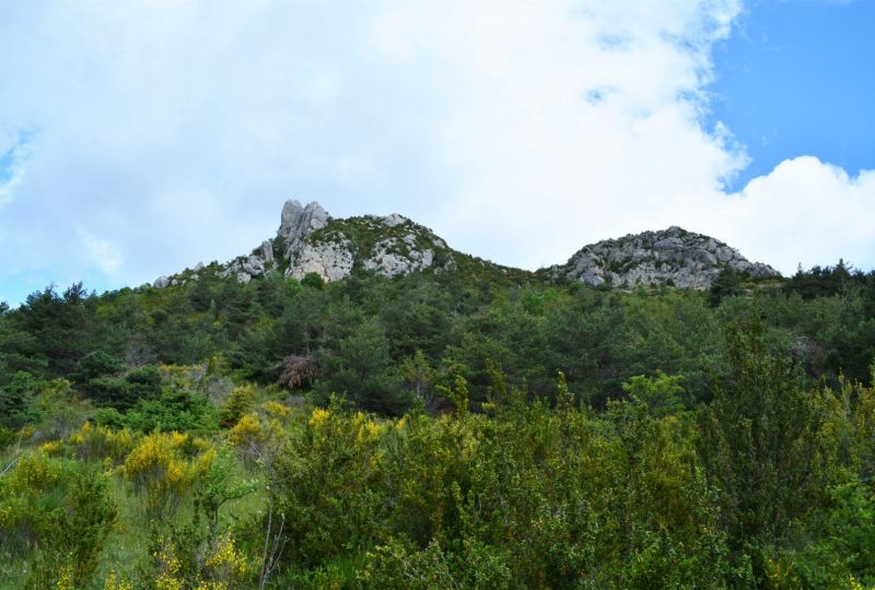
At the far end of the Ennuyé valley, an ancient sheep trail leads up to the Larant ravine and under Vanige, the sacred mountain and highest point in the valley. The source of the Ennuyé is near the famous Rocher Percé.
Description
On the way down, we pass the Gifort sheepfold, once home to a village and inn that acted as a relay between Buis and Rosans, before the opening of the Eygues gorges.
Departure point: Follow the D64 to La Bâtie-Verdun. As you approach the hamlet, do not enter it, but continue on the main road towards Saint-Auban-sur-l'Ouvèze and Séderon, via the Col de Peyruergue. Park at the edge of the hamlet, on the right-hand side of the D64 road leading to the Col de Peyruergue, when it curves around a hairpin, near the cemetery.
1. Cross the road and take the Chemin de Giford. At the signpost (La Bâtie-Verdun, 731m) follow the signs for Rocher Percé. Stay on this road for 700m.
2. At the fork in the road (alt. 773m on IGN), turn left and stay on the road.
3. At the first houses, leave the road and follow a track to the left.
4. 100m further on, at the fork in the road, take the right-hand track.
5. After 400m, leave the track and take a left-hand path which runs flat and then rises through undergrowth to pass at the foot of rocks.
6. Cross a stream, the path continues to climb, then becomes flat, follow the markers. The path then runs alongside fields and becomes a wide track.
7. At altitude 1144m (on IGN), join a track on the right.
8. You reach the Col du Rocher Percé (1190m). Continue straight on towards Bâtie-Verdun. The track descends.
9. At the fork 400m further on, turn right onto the main track. Follow this track for 3km. You pass the Gifort sheepfold (alt.1104m), on a track surrounded by lime trees.
10. Return to the fork in the road. Take the road on the left and follow the route taken on the outward journey to the parking lot.
Spoken languages
- French
Labels and ranking
- Open air
Activities
- Pedestrian sports
- Hiking itinerary
Visit
Individual tour
- Average Duration of the individual tour: 180 minutes
Rate
Situation
To see the spot on the map, you can fly over the altitude difference below.

