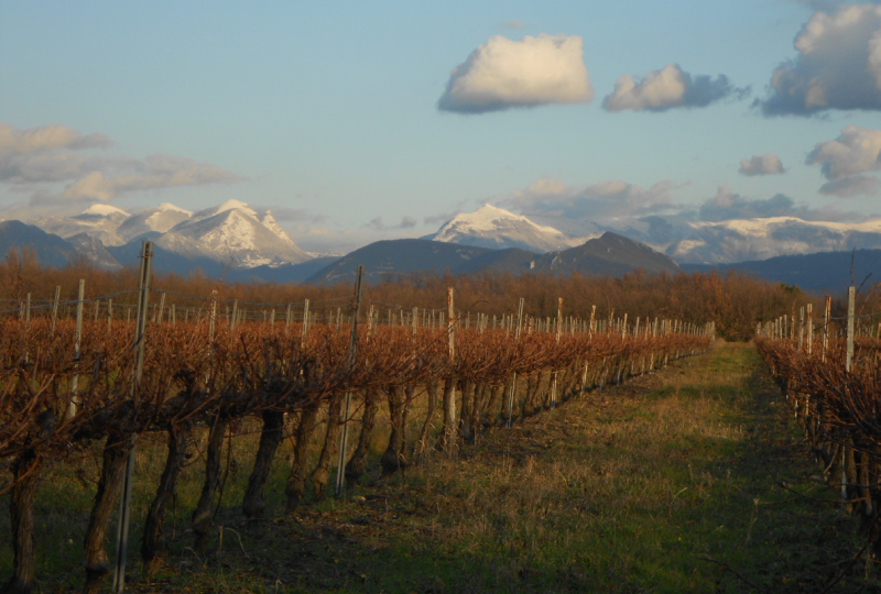
Nature at its best, with magnificent views so close to the plain! You'll discover the ancient boundary between La Laupie, Condillac and Marsanne...
Description
From the parking lot, follow the D219 towards Marsanne. Turn right towards Condillac and immediately right after the containers onto the forest track. Reach the parking lot.
Climb the wide path between the Austrian black pines. At the "patte d'oie" (Vallat Blanc signpost, 260m), turn right towards "Borne Rousse par le vallon".
Less than a kilometer further on, at a bend in the road, leave the forest track and take the path that climbs up through the undergrowth on the left. The path climbs the mountainside for over a kilometer. It joins a forest track at the top, level with a hunters' hut. Cross the track to take the path on the opposite side of the ridge. The milestone is on the right: panoramic view of the Rhône valley and surrounding forests. The milestone marks the boundary between the communes of La Laupie, Condillac and Marsanne.
Continue along the ridge path (magnificent view of the Ardèche). At the crow's-foot, keep left to stay on the ridge.
On the descent, turn left. At the high-voltage line, continue straight ahead. Panoramic view of Glandasse, Trois Becs, Grand Delmas and Valdaine.
At the next intersection (cedars), keep left. At the intersection with the hunting lodge, continue straight ahead.
.
Keep to the same path and turn right at the Vallat Blanc signpost to return to the starting point.
Spoken languages
- French
Labels and ranking
- Open air
Activities
- Pedestrian sports
- Hiking itinerary
Opening
Visit
Individual tour
- Average Duration of the individual tour: 130 minutes
Rate
Situation
To see the spot on the map, you can fly over the altitude difference below.
Amenities and Services
- Pets welcome

