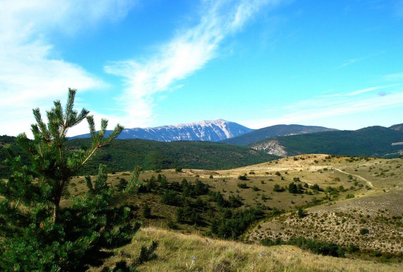
Keep your eyes peeled for the majestic Baronnies vultures on this hike, but you'll also see some flying men! Striding over the hills in search of favorable air currents.
Description
Indeed, the Buc mountain (like the Bergiès mountain further to the east) is a prime area for paragliding. The site is used by local schools (Mévouillon and Villefranche) for a large part of the year, and large-scale competitions are organized here.
Departure point: Mévouillon, Ferme des Chanaux, alt 920 m
Access by car: At the Col de Mévouillon, take the small road on the left coming from Séderon.
Parking 200 m after the "Ferme des Chanaux".
1. Return towards the pass.
2. When you are within sight of the road, take the signposted path on your right, follow the track to the first crossroads.
3. Turn right, then 100 m further on, at a second crossroads, continue straight on. The track winds upwards.
4. At the track junction, ignore the left-hand path leading to the Bergiès summit, and continue uphill to reach the Buc ridge. You are entering a pastoral area: stay away from the herds.
5. Turn left along the ridge to reach the summit of "Montagne du Buc, atl.1441 m" (geodesic marker). 360° view.
6. Head back down to the west, where the path joins a track just after a steep descent. Turn left, then directly right, along a moorland path at the edge of a cultivated field, to reach a place called "Les Plaines".
Plaines, alt.1100 m".
7. Turn left, then 200 m further on, fork right to pass by a ruin. Continue on the same track to the Col du Lac (alt.1113 m) between two small peaks, then descend to the Col des Arles (alt.1000 m).
8. Turn right onto a good carriage road and follow it, keeping to the main road, as far as "Moures, alt. 956 m".
9. Continue straight on, passing "Pied de Buc", alt. 950m, to return to the starting point.
Spoken languages
- French
Labels and ranking
- Open air
Activities
- Pedestrian sports
- Hiking itinerary
Visit
Individual tour
- Average Duration of the individual tour: 192 minutes
Rate
Situation
To see the spot on the map, you can fly over the altitude difference below.

