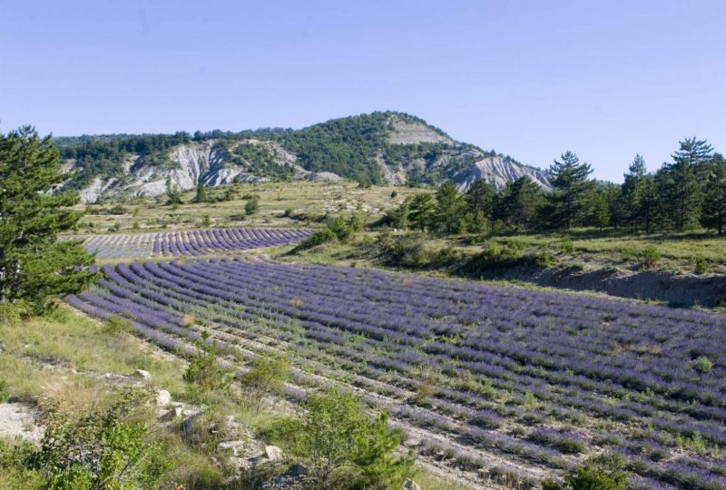
This itinerary takes in the hinterland of Montbrun-les-Bains on the north side, on either side of the Toulourenc, linking the castles of Montbrun and Aulan.
Description
Departure point: "Aulan, alt.780 m" Château parking lot.
1. Take the small road down towards "Cimetière d'Aulan", staying on the road in the hairpin bend. At the "Cimetière d'Aulan, alt.760 m" crossroads, turn right, cross the Toulourenc on the footpath and follow it to a track that avoids the La Palud farm. Follow the yellow markings.
2. At the "L'Ubac, alt.840 m" crossroads, leave the main track and fork left. Follow the markings as the forest track becomes a steep path in places, with several hairpins.
3. At Col du Puit (marked by a large oak tree), take the path heading south to a clearing. At the well, turn left to follow the path, then the track, through the garrigue to the Vergol chapel. Descend to the right as far as "Col de l'Aiguillon-Saint Claude, alt. 742 m".
4. From here, turn right onto the small road to the hamlet of La Gabelle.
5. Take the left-hand path (ford) to a house. Continue downhill to the left on a gravel path, sometimes narrow, to the hamlet of "Briançon, alt.530 m" (yellow and yellow/red GRP markings).
6. Turn left before the small bridge and continue to the "Pierre-Vortier, alt. 532 m" crossroads.
7. Continue straight ahead. A little further on, go around the Truphémus farm, following the signs to La Villette. Climb the Vic slope on a good path with 2 steep sections. Continue along the main track to the "Col de Vic alt.701 m".
8. Turn left, pass the "La Villette" gîte and take the small road down to the "Pont de Vénéjean, alt.592 m".
9. Turn right on the D159 for 500 m to the calvary.
10. Turn left up the small road. Pass the Porte Sainte Marie (stone arch), go through the village under the Belfry gate and, 350 m further on, take the staircase on the right which leads to the mayor's office.
11. Take the main street on the left and leave the center on the D 542 towards Séderon/Barret-de-Lioure.
12. Just before a small bridge, take the small road on the left, then the path, as far as "Trémol, alt. 650 m".
13. Turn right (towards "La Boucoule"), a lime tree marks the start of the track. Climb the track.
14. In a hairpin bend before a barrier, take the narrow path to the right and descend into the Ravin de la Boucoule. Cross the ford and turn left to the crossroads "La Boucoule, alt.750 m".
15. Follow a good path up the Combe to "Col des Arles, alt.1012 m".
16. Take the narrow path to the north, which quickly branches off to the west. Descend into the oak and pine forest (follow the signs) and reach a track (cairn). Follow it to the left.
17. Arrive on the D 159, cross the bridge, turn left towards Aulan, then go straight up on the right to the château square.
Alternative:
Follow the above itinerary to point 4, "Col de l'Aiguillon Saint Claude, alt.742 m":
4. From here, turn left down the road to the D 159 at "La Niègle, alt. 648 m".
5. Follow the road to the left for 150 m, then fork right. Follow the main track and then the path until you reach the junction for "La Boucoule, alt.750 m".
15. Follow the above route to Aulan.
Spoken languages
- French
Labels and ranking
- Open air
Activities
- Pedestrian sports
- Hiking itinerary
Visit
Individual tour
- Average Duration of the individual tour: 401 minutes
Rate
Situation
To see the spot on the map, you can fly over the altitude difference below.

